Nathaniel Brodie
Scrambling up a series of sandstone ledges, I found a nice spot to sit: a bedrock backrest with a view of the wavering line where the waters of the Little Colorado River joined those of the Colorado River in the heart of the Grand Canyon. The LCR is usually an opalescent turquoise blue,
milk-bright with dissolved travertine and limestone. But the rains from a few days earlier had rusted the color to that of an ancient ceramic pot, a few shades browner than the grey-green Colorado. The LCR eased into the Colorado’s corridor, but the two rivers didn’t immediately merge, they simply ran, side by side, down the course of the Canyon. They’d maintain their distinct flows for a good half-mile before rapids disrupted them into unity. The meeting of any waters is mesmerizing to watch; especially so here, with the LCR’s suspended silt mushrooming into the silt-strained Colorado.
Silt-strained From where I sat at The Confluence, I was only sixty-one miles downstream of Glen Canyon Dam. Behind Glen Canyon Dam, the silt-laden, rusted-red
The Glen Canyon Dam, completed in 1963, has wreaked havoc on downstream ecology. The seasonal flux of spring flood and winter ebb was replaced by a mechanical, anthropogenic rhythm: the dam now doles out the river in accordance with Phoenix’s electrical needs. Before the dam, the rise and ebb of floods would deposit and rearrange the river’s sediment into ecologically important fluvial formations: sandbars, islands, beaches, backwaters. With the replenishing floods stifled by the dam and the sediment dropped at the top of the reservoir, the Canyon’s beaches and eddy sandbars are slipping away, grain by grain. No longer scoured by floods, the remaining beaches are increasingly impenetrable with tamarisk, Russian olive, and willow. No longer swept aside or rearranged by floods, the debris fans that form at the mouths of tributary canyons constrict the river, forming narrower, bonier rapids. Before the dam, the
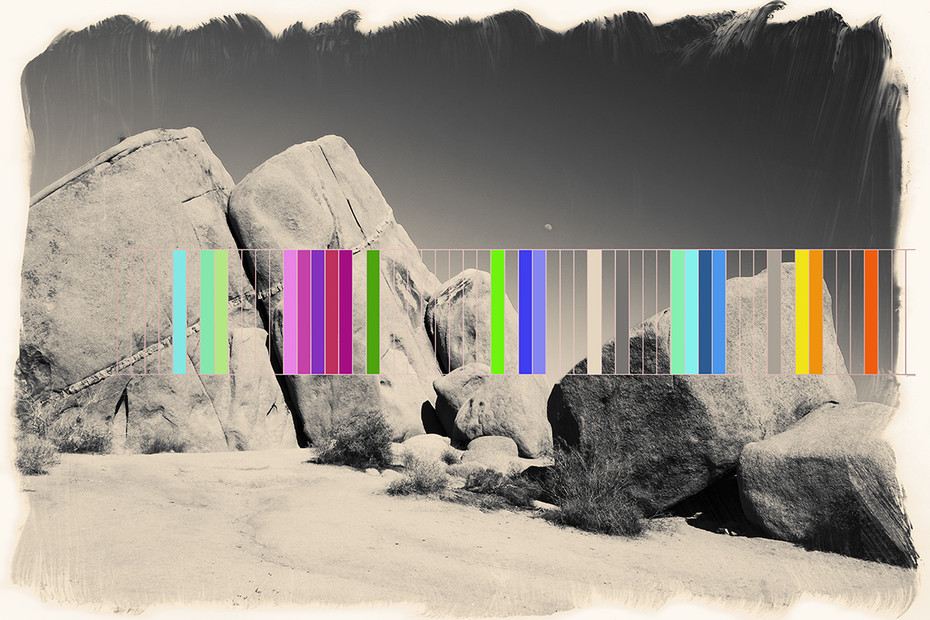
Great North American Landscapes Vol. 3 #1, ©Carolyn Doucette
The dam’s effects are geological as well as ecological. Before the dam, the melting of the Rocky Mountains’ deep snowpacks sent spring floods raging through the Canyon. The highest recorded flood (in 1884) peaked at 300,000 cubic feet per second (cfs) (the dammed river now fluctuates between 7,000 to 30,000 cfs). And yet even that historic 300,000 cfs deluge was dwarfed by floods that have ripped through the Canyon in recent geological history. Within the last two-million years, the cyclic melting of the Quaternary Ice Ages sent flood after flood—some as large as a 1,000,000 cfs—coursing through the Canyon. These floods significantly contributed to the downcut topography of the Colorado

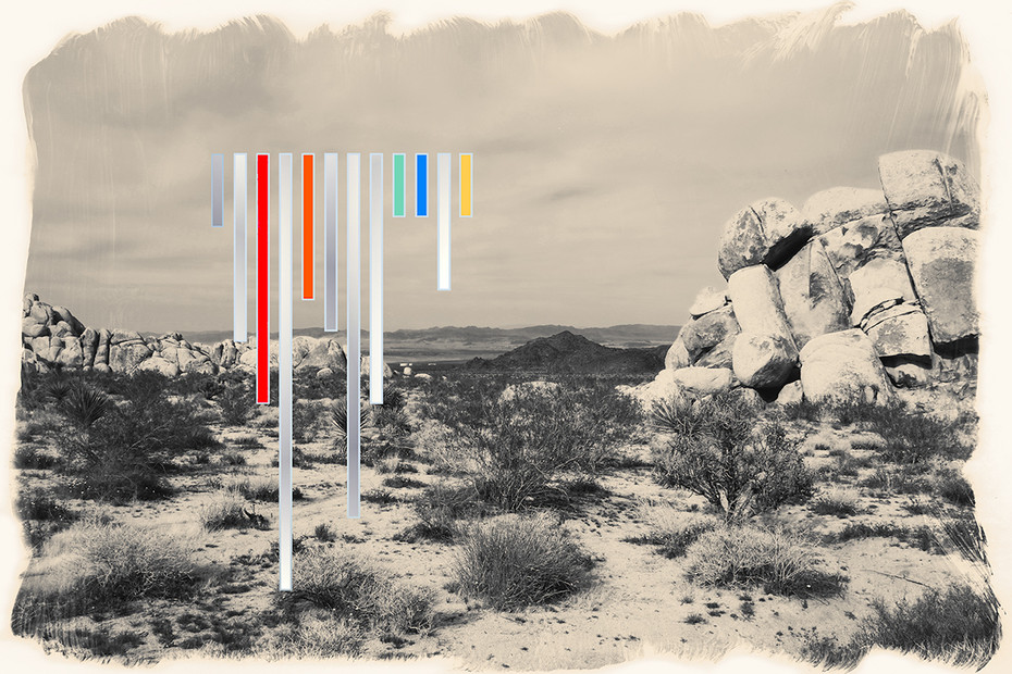
Great North American Landscapes Vol. 3 #2, ©Carolyn Doucette
No more. The once diluvial Colorado River system is now constrained by more than 100 dams between headwaters and delta. The once volatile river has been reduced, as the riverguide and author Kevin Fedarko has written, “to little more than a giant plumbing system” consigned to slake the thirst of some thirty million people. The river that carved the Grand Canyon in a scant six-million years has been fettered;
After an hour, my muscles beginning to tighten from the day’s miles and the evening’s cold, I stood from my stone seat onto a shatter of scree. At the exact moment that I stood a fish jumped: a flash in the corner of my eye, the distant sound of a splash, and the quickest of ripples. Probably a rainbow trout: an invasive, predatory species that has flourished in the cold, clean waters the dam has effected upon downstream ecosystems. The fish brought to mind another meeting of waters, this one of a bright, fast creek into the dusky, slow Rogue River. One summer my wife and I walked, every afternoon, to perch above that confluence and watch the congregations of three- to four-foot Spring Chinook. Once only one fish, a four-foot long beauty. A few days later a dozen. Then a half-hundred salmon in that bedrock cleft, mouthing up against the cold, oxygen-rich waters of the creek, some spooling out into the deep green current of the warm river, some flipping over on their sides so that the stippled light flashed on their dark and silver fluidities, these dark fish flashing in the green river that itself flashed with the white sun and green hills. Absolutely hypnotic. But my ecstasy was cut with the lament that once the whole river would have been choked with salmon, that this spectacular clustering was but a shard of what used to be a common miracle across the West, another reminder of the loss of the richness and abundance that we used up or wasted or threw away one way or another, that we can somehow go on living our days without accounting for, but that nonetheless shadows our presence, permeates our world.
The Japanese have a term: mono-no-ware, the beautiful sadness of temporality. I am particularly susceptible to this feeling, especially when alone in wild places. I have experienced it again and again in the Canyon: the crumbling slopes around me signifying dissolution and death; the stars wheeling across the sky the same stars my wife had
The losses attributable to the Glen Canyon Dam are more myriad and complicated than the diminished fish runs of the Rogue River. And yet when it comes to native fish, both rivers rippled with what the Portuguese call saudade, that bittersweet tumult of loss, longing, and hope. Before the dam, the Colorado River through the Grand Canyon supported healthy populations of eight native fish species. Six of these species were endemic, meaning they were found nowhere else in the world. But then the Bureau of Reclamation plugged the river, and shortly thereafter the Colorado Pikeminnow, a six-foot long, eighty-pound torpedo of a fish, was extirpated from the Canyon. As was the Roundtail chub. As was the Bonytail chub, now considered functionally extinct. A small population of Razorback sucker has recently been located in the lower stretches of the Canyon, but is still considered endangered, and might not be reproducing. The humpback chub, perhaps the most well-known of these piscine marvels, a fish that evolved in time with the six-million-year-carving of the Canyon, its cartilaginous hump allowing it to press against the riverbottom and remain upright in floods, its small eyes, depressed skull, and highly streamlined body adaptations to the aphotic conditions of that once turbulent river-of-stone, is also endangered. The LCR near the Confluence supports the largest of the six remaining populations of
A truly impressive array of government agencies has spent over four decades and tens—if not hundreds—of millions of dollars in humpback chub recovery efforts. Grand Canyon National Park’s current chub recovery measures include “translocations of humpback chub into tributaries, non-native fish control, and the establishment of a refuge population of humpback chub at US Fish and Wildlife Service fish hatchery
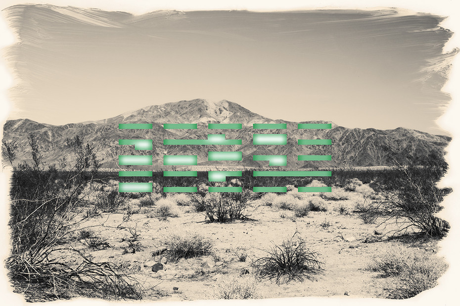
Great North American Landscapes Vol. 3 #3, ©Carolyn Doucette
in New Mexico.” And yet, on a whole, these efforts have been ineffective: chub populations continue to decline.
A few concerned ecologists have voiced their dismay that we seem not to have the resources, capability, or political fortitude to save the Colorado River’s—indeed, the American West’s—native fish by eradicating predatory, nonnative fish, much less dams. It simply may not be feasible, regardless. There is no chance of eradicating nonnative, predatory fish like rainbow trout in the mainstem of the
Great North American Landscapes Vol. 3 #4, ©Carolyn Doucette
I stood for a while, watching the water, waiting for another fish to jump. Nothing. Only the pale moon in the diming sky, the rivers joining forces to flow downcanyon, and a bleached log, high up on the riverbank, settled atop a boulder by the subsidence of the last great flood in ’83, likely never to drift again.
I had crossed the LCR and walked upstream of the confluence to pump my drinking water, and not just because the LCR was running thick. The Little Colorado’s water is some of the foulest in the Canyon: heavily mineralized, slimy, brackish, stank. Jack Sumner, one of Powell’s crewmates on
But honestly, by the time it reaches the Canyon, the Colorado River’s once-Rocky-Mountain-meltwater isn’t all that much more palatable. Reaching my settling bag, I noticed that the river-level had already sunk: the dam engineers let out less water at night, when electrical demand is low. I pumped a liter and took a sip. Alkaline, almost curdled water. The rim of my bottle was gritty; I could feel the grains of rock rasp my tongue, the sand grind my teeth. Despite the dam, the Colorado through the Canyon is by no means devoid of silt. According to Gwendolyn L. Waring, author of A Natural History of the Intermountain West: Its Ecological and Evolutionary Story, the river below the dam still conveys some 12 million tons of silt a year. 12 million tons of silt still makes a raspy river. Much of the silt comes from the Pariah River, which enters the Colorado hypersaturated with the pink, hematite-rich soils of Bryce Canyon. Waring claims that the Pariah, a Paiute word meaning “muddy” or “elk water,” has “carried greater concentrations of suspended sediment than any other river in North America; concentrations of up to 2 pounds of sediment per quart.” The LCR also supplies a significant amount of the below-dam Colorado’s sediment; the rest comes from the Park’s hundreds of tributary canyons. And thus a drink of the river, despite the twist of the mouth at the taste, is a desert communion: the dolomites and mudrocks of Nankoweap or Kwagunt basins clouding into
The Southwest’s intense monsoon thunderstorms play an integral role in the conveyance of tributary silt. For those few wet months, for the approximately two-hundred-and-ninety mile stretch of river between the Glen Canyon Dam and the waters of Lake Mead, the Colorado scorches its namesake red. Flush with runoff, again the river moves the wasted continent to the sea. You open your eyes underwater and it’s like being buried alive. Black as a cave. If you go overboard in a rapid the suspended sediment collects in every fold in your PFD or drysuit and weighs you towards your watery death. The most impressive thing about a video of a flood ripping down National Canyon in 2012 isn’t the hugely aggrandized volume of the normally-small creek, but the quantity of mud that the flood was expectorating into the river: a foamy goo that settled into a few-foot thick scum in the downstream flatwater.
And yet, because of repressed riverflow, most of this tributary sediment settles to the riverbed shortly downstream of the tributary canyons. Since 1996, the various federal agencies managing the dam and river—mainly the Bureau of Reclamation, US Fish and Wildlife Service, and the National Park Service—have been experimenting with short-duration, high-volume dam releases (aka “high-flow experiments,” or HFEs) designed to mobilize theses thick mantles of sand and sediment in hopes that when the flood subsides, the mobilized sand will have replenished downstream beaches and riparian areas. They have conducted six such experiments, with no flood larger than 45,000 cfs. The latest tactic, now part of the Glen Canyon Dam Adaptive Management Program, is to strategically time the high-flows with the episodic flooding of tributaries, as when, in a three-month, end-of-monsoon-season span in 2012, the Paria River
However, according to a 2011 USGS report, the relation “among sand supplied from tributaries, short-term sand enrichment in the Colorado River, sand transport during HFEs, sand transport between HFEs during normal operations, and the resultant sand mass balance” is complex, and delicate, and “uncertainties still remain about downstream impacts of water releases from Glen Canyon Dam.” For example, the experimental floods may have had a role in the 800-percent increase in the catch rates of rainbow trout—the humpback chub’s main predator—at the

Great North American Landscapes Vol. 3 #5, ©Carolyn Doucette
Confluence between 2007 and 2009. On a wider scale, the question remains of whether tributaries even supply enough sand “to provide the elevated suspended-sediment concentrations needed to build and also maintain sandbars.”Because of this, environmentalists have urged the Bureau of Reclamation to install a slurry pipe that would
Great North American Landscapes Vol. 3 #6, ©Carolyn Doucette
So it goes with the Colorado River these days; as Marc Reisner put it in the classic Cadillac Desert, “The Colorado’s modern notoriety…stems not from its wild
And yet for all the tangle of acronyms, abstractions, and differing philosophies is the squat, concrete reality of the dam. So too, for all the ways the thickness of our individual and cultural conceptions allow us to see or not see the Grand Canyon, as much as it may be the most staggering, unknowable, sublime phenomenon that I have ever experienced, the Canyon is still rock, and wind, and river. “No ideas but in things,” William Carlos Williams proclaimed, and I understood that best, there; that sublimity, mystery, time, love, passion, loss, and sorrow are aspects of the Canyon and life I’d only and ever truly understand if they burned through me as physical experiences: as sweat stinging the eyes, lungs gulping the air, a stone tossed as far as I could into the void, the rasp of sediment against skin, tongue.
I was born sixteen years too late to have experienced the Canyon before the dam. I couldn’t—can’t—see the suckers and pikeminnows and chubs slipping towards extinction. I haven’t yet spent enough years on the river to witness the beaches waning to nothing, the rapids choking with boulders. There is only so much my mind can bear to read about
Conversely, during those months when the tributaries are flashing, turning the river brown, or during those brief days during the rare high-flow experiments, one understands that the central miracle of the Grand Canyon is the staggering amount of material that the river is capable of conveying. It’s so obvious that it’s commonly disregarded, or slips past without notice, but the exposed and spreading rock is not the Grand Canyon: the Canyon is the absence of rock. The Canyon is a lacuna—a gap, a segment of earth torn from its surroundings, the 1,000 cubic miles of rock that the river has excavated. And not just the iconic gorge itself—in what the geologist Clarence Dutton dubbed “The Great Denudation,” strata a mile thick was removed from the top of the Grand Canyon region. An entire landscape, gone. The Moenkopi layer, gone. Chinle layer, gone. The Moenave, Kayenta, Navajo, Templecap, Carmel, Dakota, Tropic, Wahweap, Kaiparowits, Wasatch, Brian Head—almost two-hundred million years’ worth of sedimentary deposition—gone. Slab by slab and grain by grain, the arterial riverflume sluiced the broken landscapes to the Sea of Cortez. Wells sunk along the river’s delta have penetrated eighteen-thousand feet of alluvial fill without hitting bedrock. Fifty-thousand cubic miles of sediment may lay buried under the Gulf of California. In time that material will be subducted and reabsorbed into the hot crust of the earth, and, in even greater scales of time, again rise to the surface as new earth.
And yet, for a geologic gasp, no more sediment disgorges into the gulf. None.
Great North American Landscapes Vol. 3 #10, ©Carolyn Doucette
press my bare palms against that unbearably ancient rock, slide my bare feet in that cold, indifferent water. Despite the abundant instances of sorrow and loss, despite that I may mourn that I’ll never get to see a 200,000 cfs flood scouring and deepening the Canyon, or that I’ll never get to sit at the confluence of the free flowing San Juan River and the free-flowing Colorado River and watch the sediment of one curl like spiral galaxies into the deep space of the other, I find some small, fatalistic comfort in the fact that the dam is a temporary barrier, that the river, as Robinson Jeffers put it, is a “heart-breaking beauty [that] will remain when there is no heart to break for it.” It’s an almost inescapable thought. As
Great North American Landscapes Vol. 3 #11, ©Carolyn Doucette
My water bottles full, I poured the remaining water in my settling bag into the shallows. The force of the water plumed sand into suspension, some of which settled back to the bottom, some of which was whisked away by the eddy. I watched the gauzy ribbons of sediment flow past, allowed myself to fancy that they made the main current to be carried past the Confluence, past the endling schools of chub, and down the length of this ancient river to the waters of Lake Mead, where the individual grains will again succumb to their miniscule gravities and drift, slowly, to the bottom.
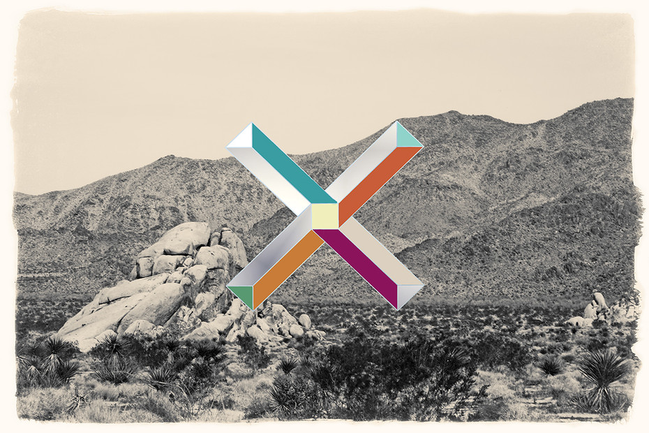
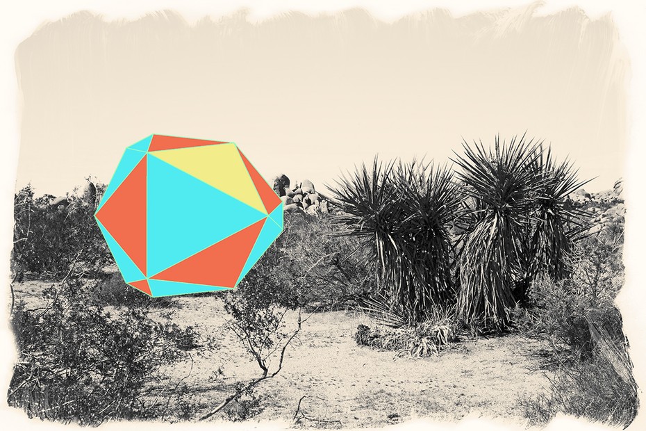
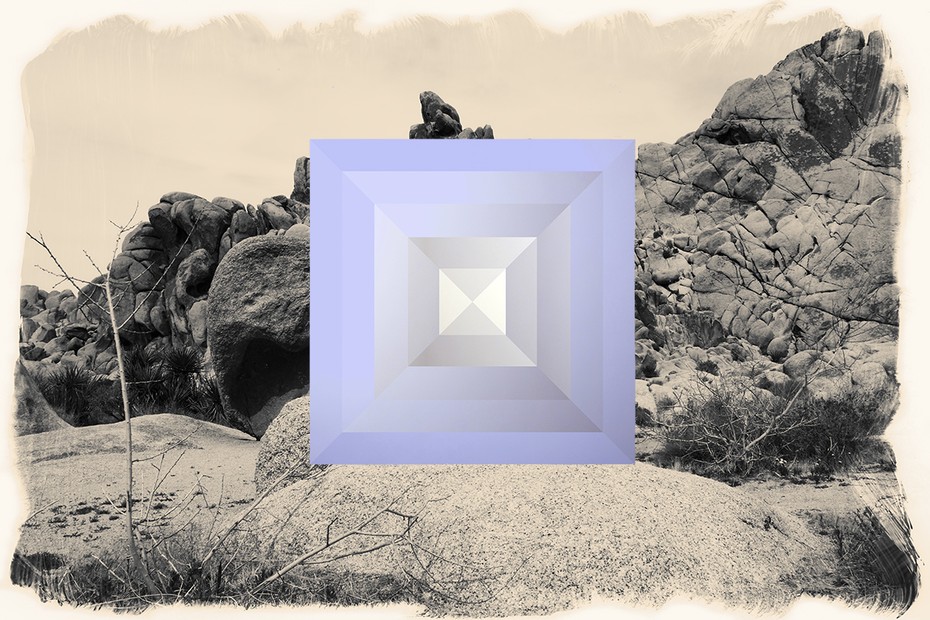
Carolyn Doucette’s Great North American Landscapes Vol. 3, invites viewers to challenge the construction and implications of traditional Western dichotomies between nature and culture. In this series, I visually disrupt conventionally composed landscape imagery by printing digital designs created with iPhone applications over sepia-tinted photographs digitally altered in Photoshop to resemble historic processes such as the wet plate Collodion. The photographs themselves reference Ansel Adams’s and Edward Weston’s iconic homages to the North American landscape. The geometric forms interrupting these familiar landscape images evoke designs by American modernist and postmodernist architects such as Frank Gehry, Thom Mayne and Richard Meier. These architects’ perfectly proportioned structures abstractly allude to organic forms but defy nature’s logic. In this style, my designs’ hyper-vivid colors and strict symmetry clash with the geologically and historically complex landscape.
Underlying my imagery is an awareness that the American West is the site of significant historical trauma. The brutal history of colonization in the area, as well as contemporary ecological destruction, demonstrates the peril of Western notions of nature versus culture. As a person of mixed Mi’kmaq and French ancestry, I have a heightened awareness of the temptations and dangers of over-simplifying and mythologizing the landscape. In today’s world, corporate greed posses a major threat to the global wilderness. The forms that I impose on the landscape in my artworks represent humanity’s destructive desire to force itself on the land, in one form or another.
Inspired by Anselm Kiefer’s statement, “how can you just paint a forest when the tanks have passed through?,” this series urges us to explore how our aesthetic attitudes about nature influence our actions. Great North American Landscapes Vol. 3, raises the question of whether we can develop alternative understandings of humanity’s relationship with the Earth.
00
Nathaniel Brodie has worked for many years on the Grand Canyon National Park Service Trail Crew. His essays have appeared in a number of magazines, literary journals, and anthologies, and can be read at nathanielfbrodie.com. He currently lives in Flagstaff, Arizona, with his beloved wife and daughter.
Born in North Dakota, of Mi’kmaq|Acadian ancestry, Carolyn Doucette is an American transmedia artist with a BFA from the University of Victoria. Her work has shown and screened at art galleries and film festivals in the US, Canada and Europe. Her work and research concerns the connection between humans and nature, the ecological implications of a nature/culture dichotomy in Western thought paradigms and the natural landscape vs. the “sublime” landscape. She lives in Santa Barbara, CA and is currently working on a mixed-media series exploring her indigenous heritage.


